Showing posts with label barge. Show all posts
Showing posts with label barge. Show all posts
Sunday, June 16, 2019
Rollin' on the Ohio River
Last October 14th I spotted a tug pushing barges on the Ohio River near Paducah, KY/Metropolis, IL. Just like those tugs on the Mississippi River these are hard working maritime vessels pushing loads of coal, salt, grain, scrap iron or other cargo to customers along the way. This particular boat is the Tom Torretti of the Water Front Services Company based in Cairo, Illinois. The 67- by 28-foot fleet boat entered service in 2018.
Labels:
barge,
metropolis,
Ohio river,
Paducah,
river,
tow boat,
tug
Monday, January 1, 2018
Ingram's Stephen P. Venable Tug Works Late December on the Ohio River
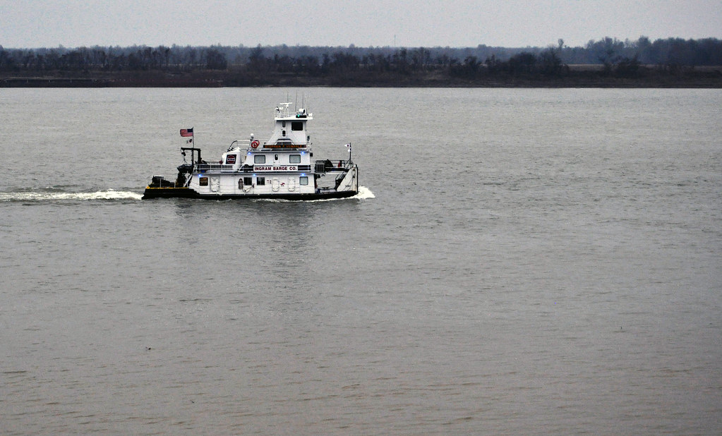
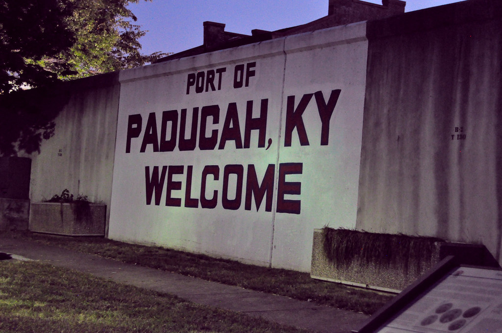
The Ingram tug, Stephen P. Venable makes her way upriver near the Port of Paducah, KY on the Ohio River on December 23, 2017 in late afternoon. This view is from the Fort Massac area where the monuments to the past overlook the present day work boats. About a week later, arctic air passed through this area, leading to ice formations on the river and a halt to barge traffic on the Ohio for the moment.
Labels:
barge,
Fort Massac,
Ft Massac,
Ingram,
Ingram Barge Company,
KY,
Ohio river,
Paducah,
river,
tug,
work boat
Sunday, November 6, 2016
Moonrise on the Ohio River
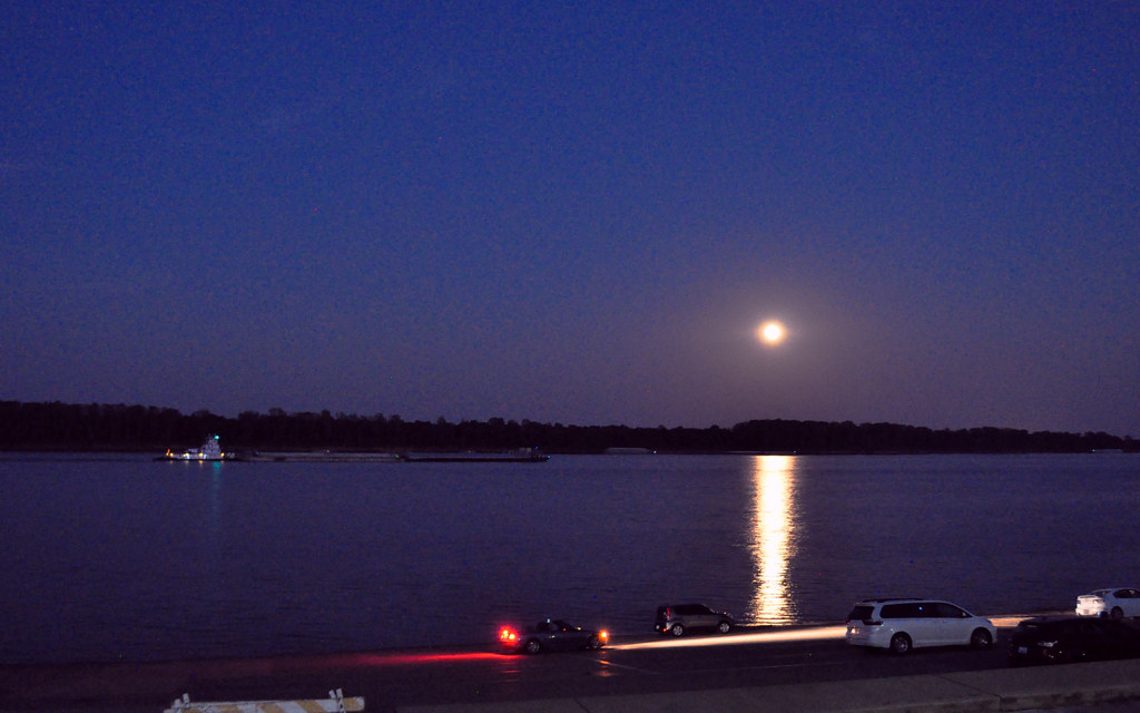
Last month's journey through the mid-South included a stop in Paducah, Kentucky. One evening was capped off with very warm temperatures, Oktemberfest, a zombie walk and this spectacular moonrise as seen beyond the floodwall on the Ohio River. I timed this photo to include a tow and barge moving east upriver. Paducah is an operational port for the Ingram Barge Company.
Labels:
barge,
floodwall,
Ingram Barge Company,
Kentucky,
KY,
Moon,
Ohio river,
Paducah
Tuesday, April 26, 2016
Barge Work on the Mississippi River at Muscatine, Iowa
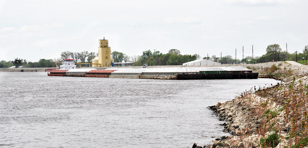
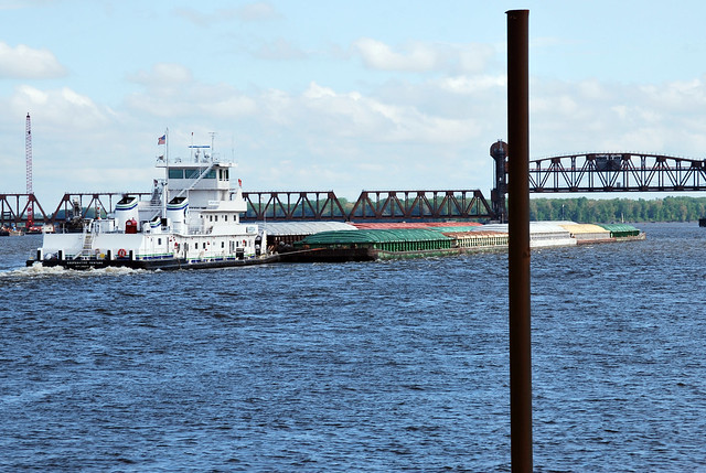
River commerce is alive and well on the Mississippi River. Barge traffic is quite common along this portion of the river at Muscatine, Iowa where grain and other terminals are located. Marquette Transportation Company's Jacob Michael Eckstein, an inland towboat positions a 15 barge array for the journey northward.
According the U.S. Coast Guard database, the Eckstein was once called the Seminole Princess. The vessel was built in 1984, is listed as 130 feet long and hails from St. Louis, MO. More data can be found here.
According the U.S. Coast Guard database, the Eckstein was once called the Seminole Princess. The vessel was built in 1984, is listed as 130 feet long and hails from St. Louis, MO. More data can be found here.
Wednesday, November 18, 2015
Mid-November Tug Traffic on the Mississippi River
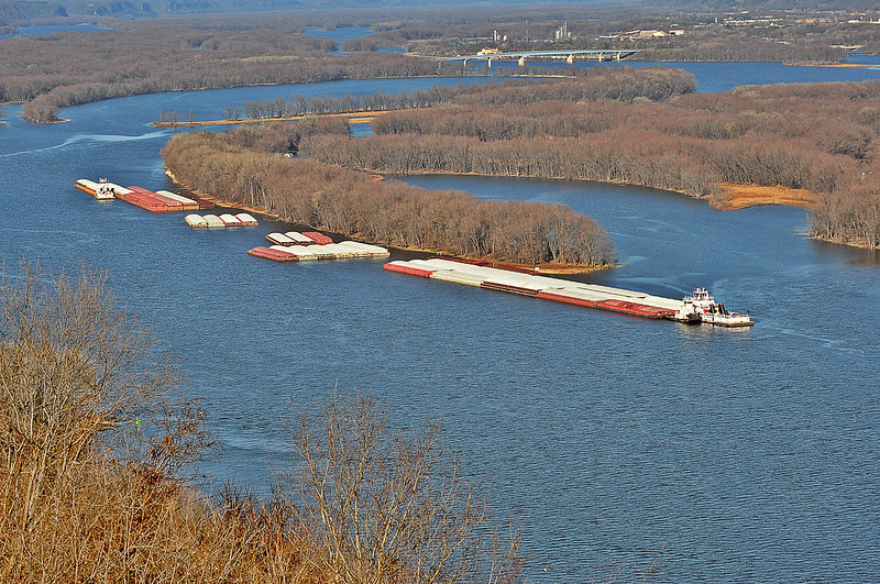
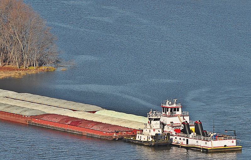
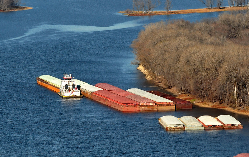
On November 15th the temperatures along the Iowa - Wisconsin border were near 60F. Tugs and barges took advantage of the weather to move northward on the Mississippi River towards Prairie du Chien, Wisconsin (upper left.)
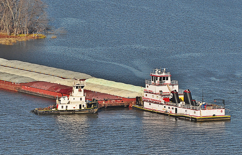
A small tug pulled along side of the David L Griggs tug. Both vessels belong to the Marquette Transportation Company which operate from Paducah, Kentucky on the Ohio River. David L Grigg's present location can be seen at this link.
The smaller tug detached from the Griggs, rotated and helped to push a formation of barges just outside of the frame.
Another tug was busy assembling the formation just north of the smaller tug and the DLG. This island, which is visible from Iowa's Pike Peak State Park is probably a staging area for barges as there is evidence of tie offs and signs.
Sunday, September 6, 2015
A Towboat Captain's Detailed Map of the Lower Mississippi River near Rodney Island
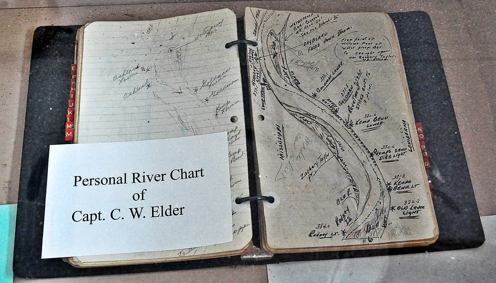
In the days before easily updatable mapping software, towboat captains on the Mississippi River detailed sections of the river in their log books by hand drawings. Captain C.W. Elder's map book can be seen at the George M. Verity River Museum in Keokuk, Iowa. The 1920's towboat was decommissioned and sold to the city of Keokuk in 1961 for the purpose of educating generations about towboats on the river.
This map appears to show the hazards of the water along a stretch of river between Mississippi and Louisiana, just north of Natchez, MS. South is to the top of the map. Rodney Island is the key to trace this hand drawn waterway illustration to modern maps like Google Maps. Discover for yourself.
Labels:
barge,
George M. Verity,
history,
iowa,
Keokuk,
Louisiana,
mississippi river,
Museum,
Natchez,
Rodney Island,
towboat,
USA
Wednesday, August 26, 2015
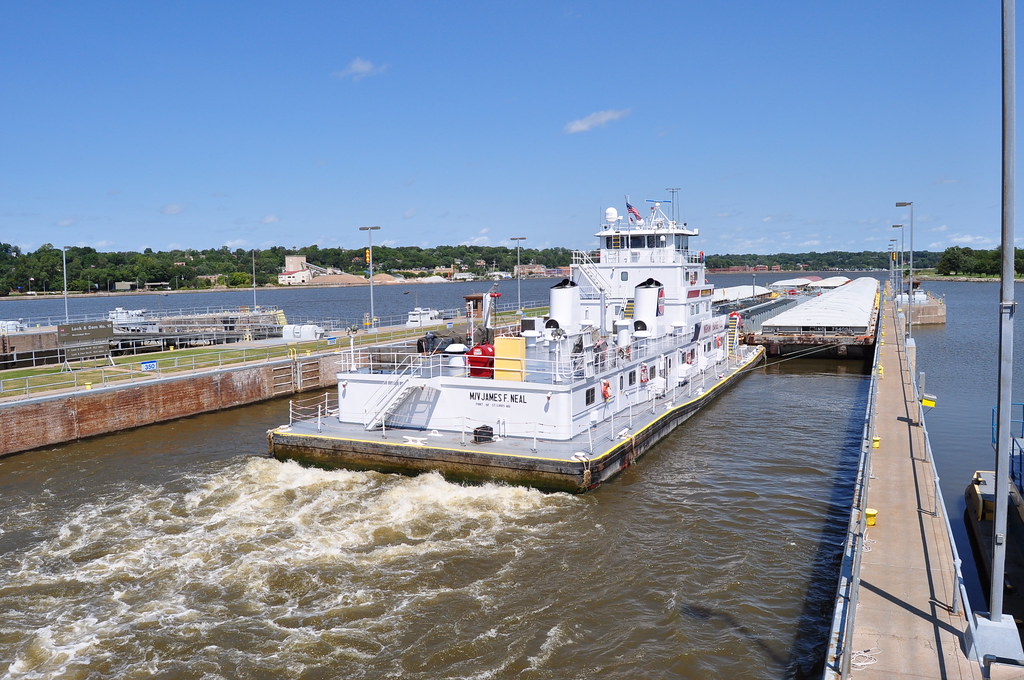
Towboat James F. Neal Passes Through Lock & Dam 15
Tuesday, April 17, 2012
Cooperative Venture Southbound Near Burlington, Iowa
Working life on the Mississippi River is often characterized by towboats and their cargo. Commerce on the river also includes excursions, fishing, channel maintenance and the like, plus hundreds of support industries positioned for the manufacture and delivery of goods and services.
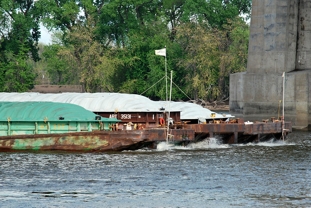 On this day the towboat, Cooperative Venture from St. Louis passed southbound pushing an array of barges under the Great River Bridge at Burlington, Iowa. Painted numbers on the bridge support indicate the distance from water level to the lower portion of the bridge to aid tows and other craft in negotiating the overpass. The barge configuration, three abreast, carries a flag designating the lead formation.
Upon close examination it appears that these 15 tied barges are empty as they ride high on the waterway. After passing the bridge the Cooperative Venture quickly changed orientation as to align with the next passage, an aerial lift bridge just a short distance away. Once again the river provides endless entertainment through its natural vistas and working commerce. And all of that just a few hours or less from the mighty 42N observation station. Know that.
Subscribe to:
Posts (Atom)


